Homeless in Arizona

Articles on Legalizing Marijuana

Aerial Maps - Arizona - Maricopa County - Pinal County

Historical Aerial Maps - Arizona - Maricopa County - Pinal County


Source

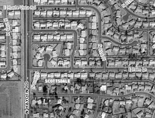
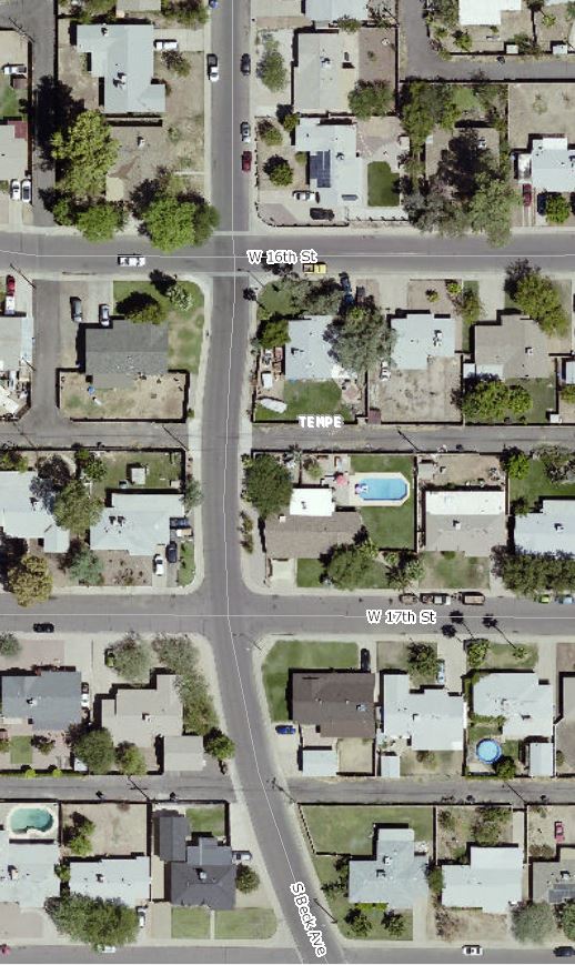
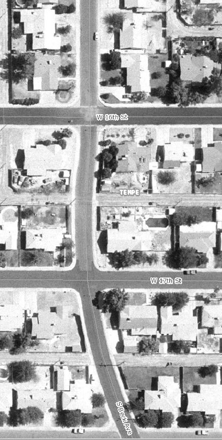
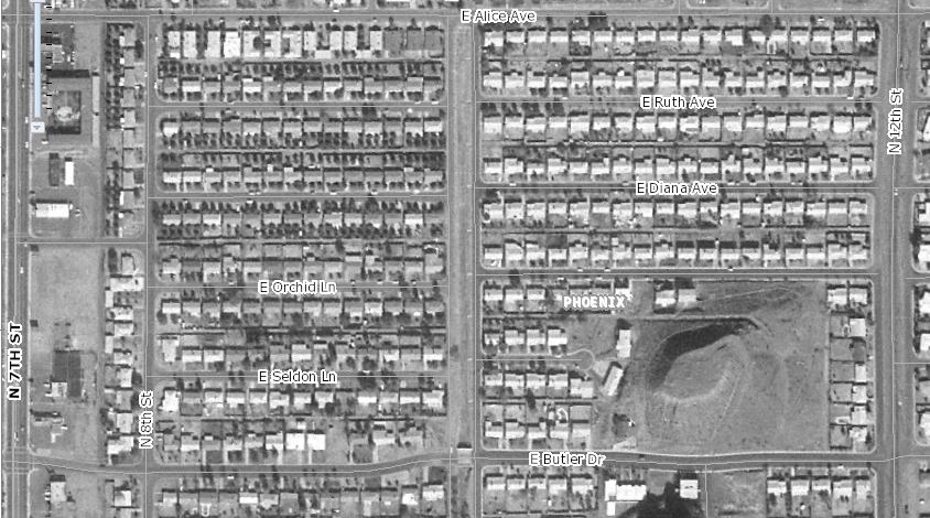
Here is an interesting map that allows you to view and compare aerial photos of urban parts of maricopa and pinal counties over the years. It has aerial photography going back to the 1930's.

It takes some figuring out to figure out how to use it.

You can either view aerial photos for a specific year.

Or you can compare two different sets of photos for the same location.

On older photos, it superimposes the current streets on the old photos so you can figure out what you are looking at.

https://gis.maricopa.gov/GIO/HistoricalAerial/
And NO, just because it's a cool map doesn't mean I have become a statist and love government.

 
8002 E Hubble, Scottsdale, Arizona 85257, 902 E Diana, Phoenix, Arizona 85020, 1033 W 16th Street, Tempe, Arizona 85281

8002 E Hubble, Scottsdale, Arizona 85257, 902 E Diana, Phoenix, Arizona 85020, 1033 W 16th Street, Tempe, Arizona 85281

8002 E Hubble, Scottsdale, Arizona 85257, 902 E Diana, Phoenix, Arizona 85020, 1033 W 16th Street, Tempe, Arizona 85281

8002 E Hubble, Scottsdale, Arizona 85257, 902 E Diana, Phoenix, Arizona 85020, 1033 W 16th Street, Tempe, Arizona 85281


Also see 1 2 3


Previous article on legalizing marijuana

Next article on legalizing marijuana

List of all articles on legalizing marijuana


Homeless in Arizona

Homeless In Arizona counter is screwed up